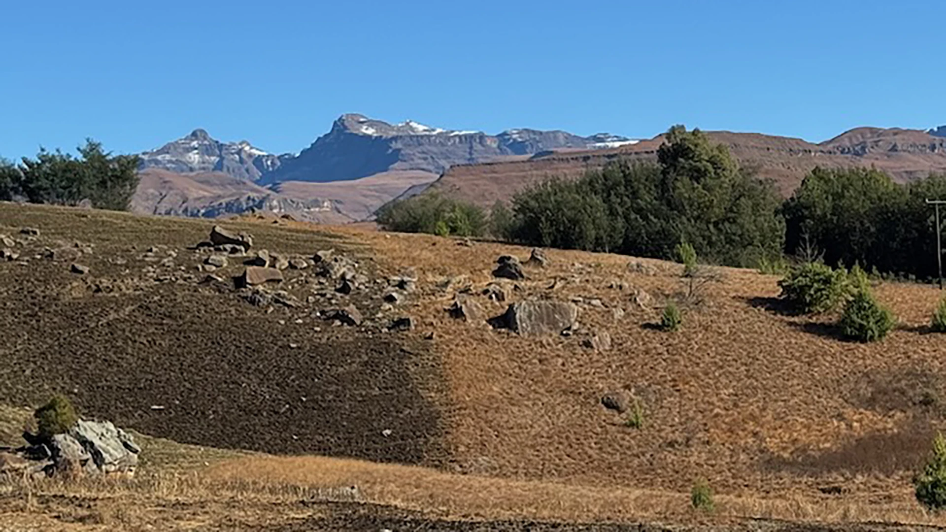


The trail has a number of options, the description here (with associated GPX Track) is typically a 3-hour round trip, along the Southern river bank (left bank when looking UPSTREAM).
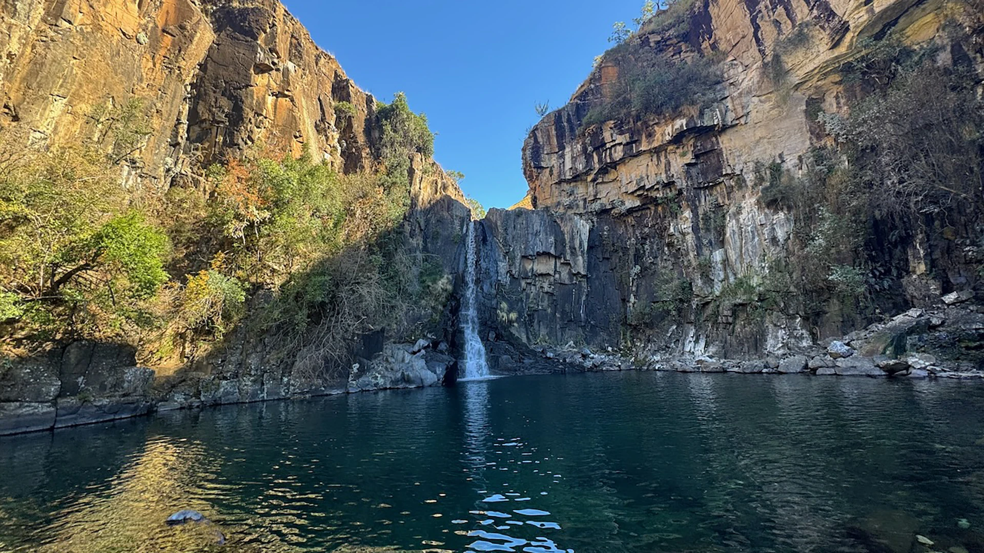
This is the most common variation of the trail and skips out the ascent through the indigeonous forest on the other bank. A smaller forrest is encountered at the base of the falls. A great option for hikers of various fitness levels, offering both a gentle stroll to the waterfall and a more challenging hike to Gxalingenwa Cave.
This hike is great all year around.
Summer: Best in the morning before the thuinder storms. Be wary of swollen / flooded river crossings. You almost certainly will get your feet wet at the river crossings.
Autumn & Spring: Pleasant temps and possibly lower rivers (especially in spring)
Winter: Often offers great weather and lower water levels (but very cold water).
1.7km after the Sani Pass Premier Hotel the road crosses the Gxalingenwa River. Park on the verge immediately after the bridge.
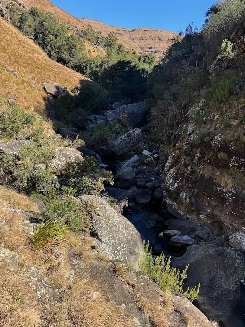
The trail is generally very clear through typical Drakensberg grass for the most part, with 3 river-crossings
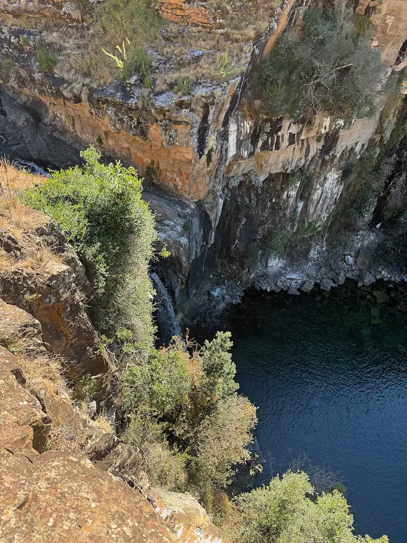
As the path proceeds more steeply up the bank, breaking out of the river, it is possible to stay low on the bank and aim toward the base of a small forrest (these are obscuring the waterfall). Follow the vague path into the riverbed (or forrest if the river is high) and upstream to the pool.
If you wish to go to the top view point, then follow the path up the steep bank, then break off the path to the view point.
Be very aware of swollen rivers (if in doubt, ask at nearby accommodation/guides), particularly during the summer rainy season.


While it is true that less information may make your adventure more, adventurous, the right information will help you grow your experience-jar to the point that you can confidently choose not to seek the info.
User feedback and community contributions are the fastest way to increase our database, so, if you have the time, inclination and resources to contribute, please hit us up!
Lorem ipsum dolor sit amet, consectetur adipiscing elit. Suspendisse varius enim in eros elementum tristique. Duis cursus, mi quis viverra ornare, eros dolor interdum nulla, ut commodo diam libero vitae erat. Aenean faucibus nibh et justo cursus id rutrum lorem imperdiet. Nunc ut sem vitae risus tristique posuere.
Lorem ipsum dolor sit amet, consectetur adipiscing elit. Suspendisse varius enim in eros elementum tristique. Duis cursus, mi quis viverra ornare, eros dolor interdum nulla, ut commodo diam libero vitae erat. Aenean faucibus nibh et justo cursus id rutrum lorem imperdiet. Nunc ut sem vitae risus tristique posuere.
Do you have beta or other content to share with us to improve this route info?
We'd really appreciate your input!